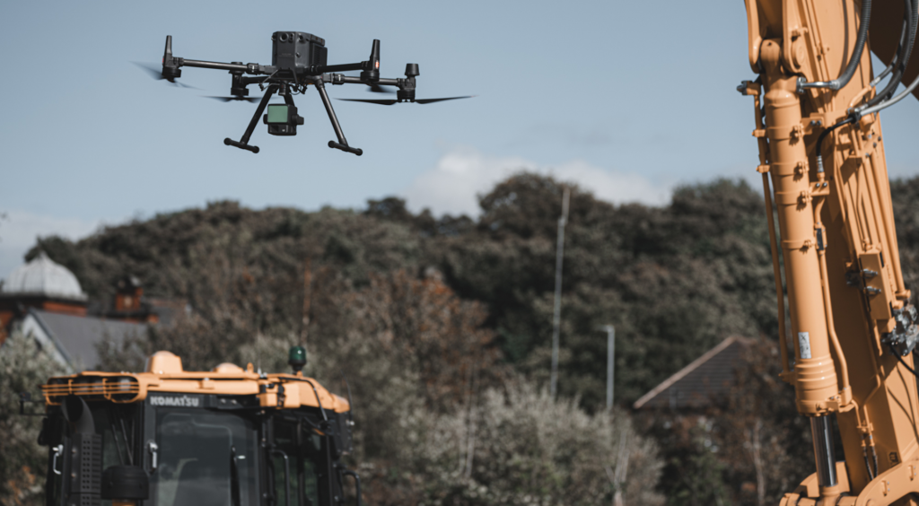
From topographic surveys to vegetation analysis, our LIDAR drones capture highly detailed 3D data. This service is essential for industries such as construction, environmental research, and agriculture.
Drone-based LIDAR solutions allow for rapid and safe inspections of infrastructure like bridges, powerlines, roads, and towers, reducing human risk while improving inspection quality and turnaround time.
Our LIDAR drones assist developers and engineers by providing high-quality data that helps in site planning, progress monitoring, and construction management.